A day in Østmarka
I like my hiking time. It’s a thing of solitude that allows my mind to wander. I either travel very light, where I carry nothing more than I wear, or I pack a bag. Today I was planning on going light, but the weather seemed decent and I decided to bring my backpack…
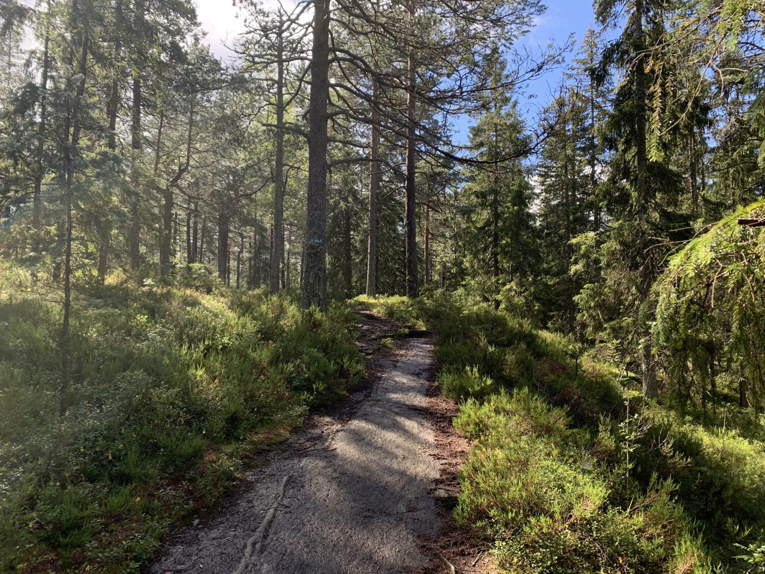
#1: Leaving the roads behind - I wanted to get out early, but it got a bit later than expected. Thankfully the weather was warm but not baking. The hiking app suggests it was around 17C.
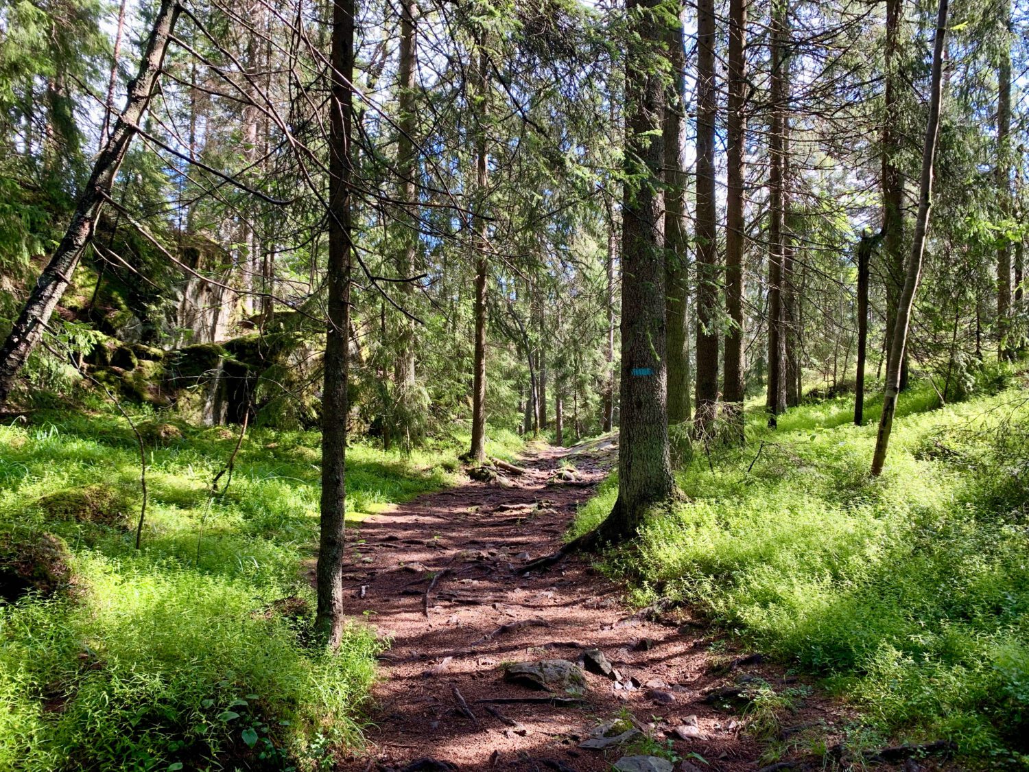
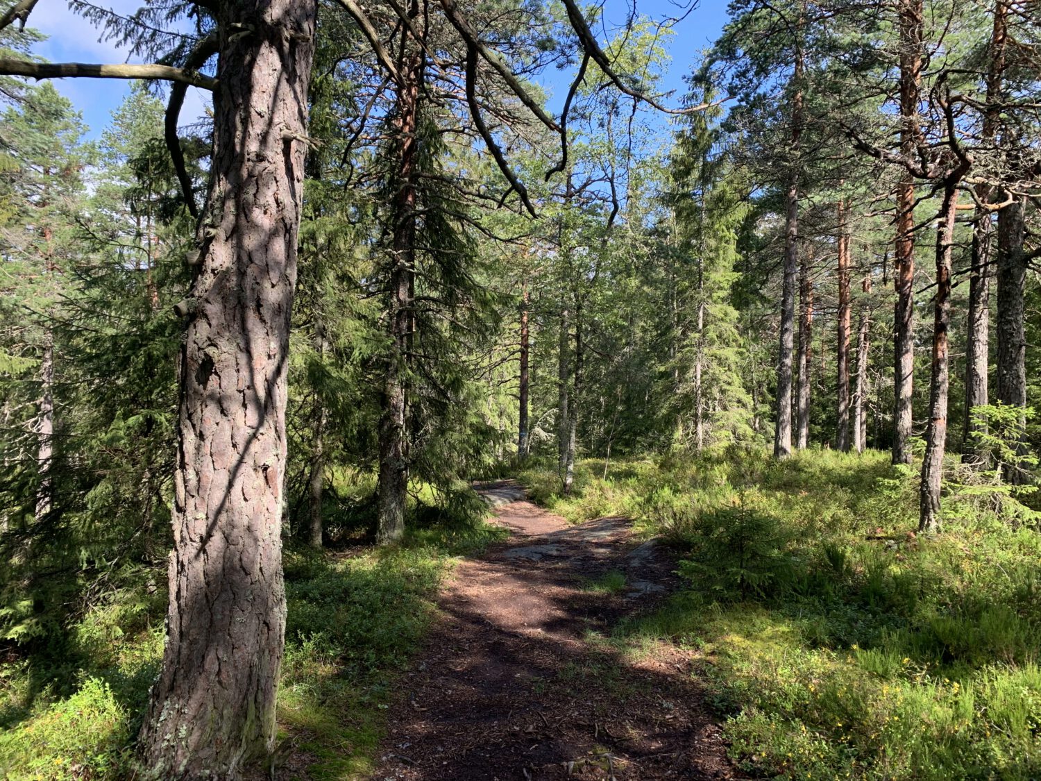
#2: The path to Grønlia cabin - This is a well-trodden path that for most of the way follows a creek. It can get a bit wet following rains, and in winter you get ice..
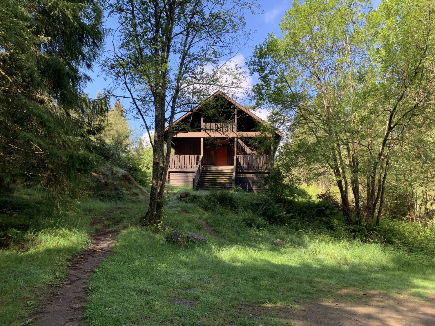
#3: Grønlia cabin - The cabin itself is available to be rented, but it is otherwise locked. It supposedly holds 30–40 people and there are two open areas outside for food and fun.
#4: Onwards and upwards - Once past Grønlia cabin the climb starts. The first few minutes have a eerie beauty to them, but then the ascent begins. This ascent is fairly steep and again there is a fair bit of water. This picture is taken just after the last of the wet areas have been passed.
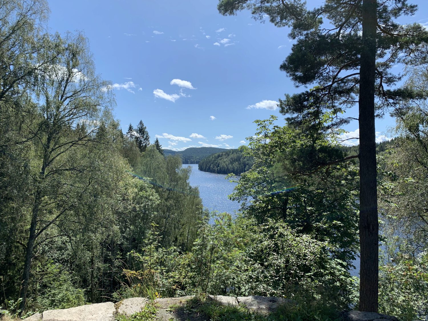
#5: On the ridge - Østmarka is renowned for one thing above all else. Walking in the east-west direction is nothing but hills. Here I am heading south, which means I will stay on this ridge for another three or four kilometers - until Haukåsen.
#6: Looking back after finally finishing the climb - Looking back down it doesn't seem steep, and here it really isn't. In total, the difference in elevation from Grønlia to here is around a hundred meters. Unfortuately, my day starts another hundred plus below Grønlia...
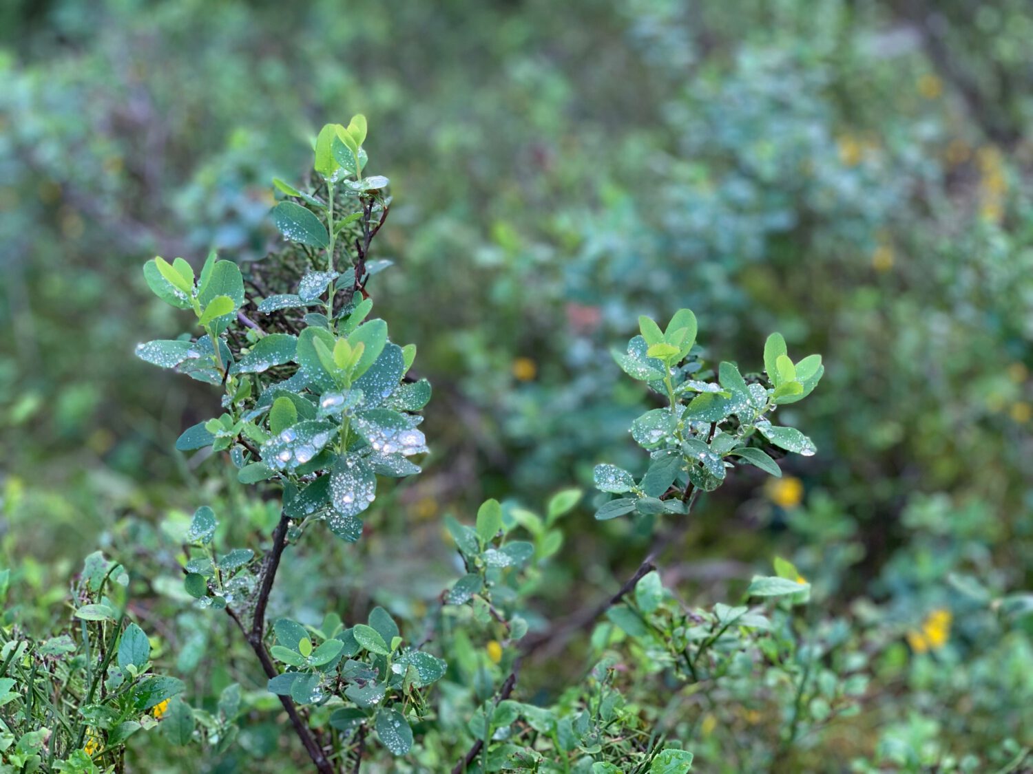
#7: The underbrush was still undisturbed - There was dew everywhere on every leaf. I was the first person here today and it was already around 11am. Normally I would encounter maybe one or two people, and at least one pupper, by the time I reached this area.
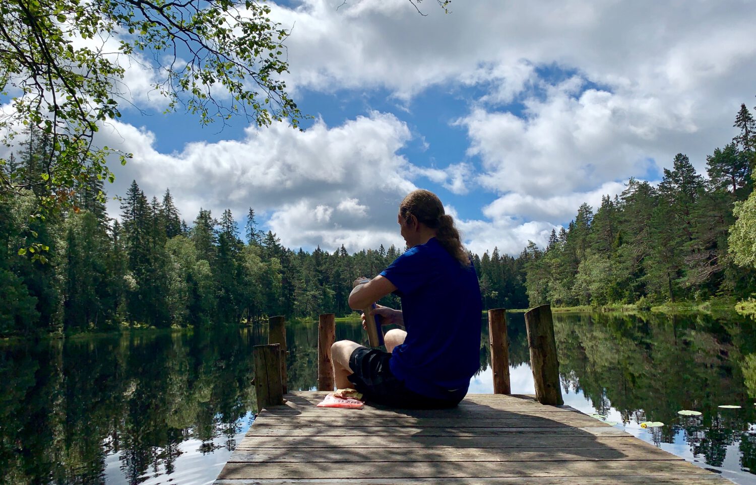
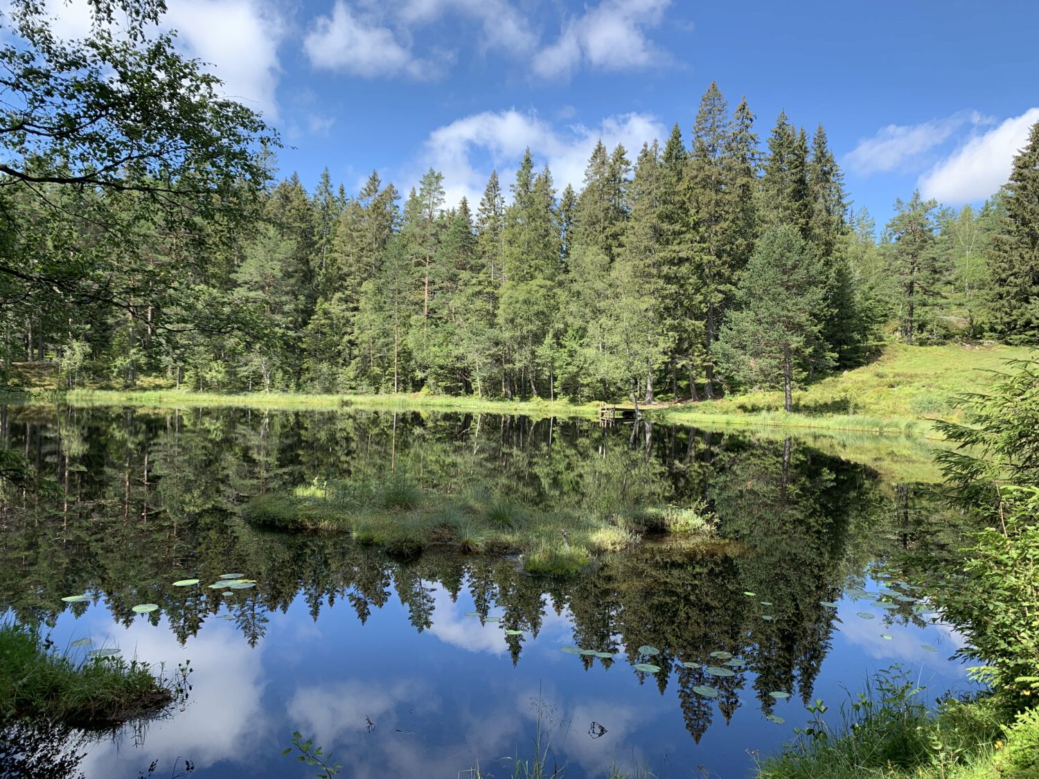
#8: Lauvtjern, a lovely spot for some food - I love this place. Lauvtjern is one of the primary reasons I walk the same route almost every time I head into the woods around here. Also, and I don't know why this is, but there are no mosquitos here.
#9: Oh well, time to leave Lauvtjern behind - I ate, I drank, I even took a ten-minute snooze. I stayed for maybe fourty-five minutes and I was perfectly alone the entire time.
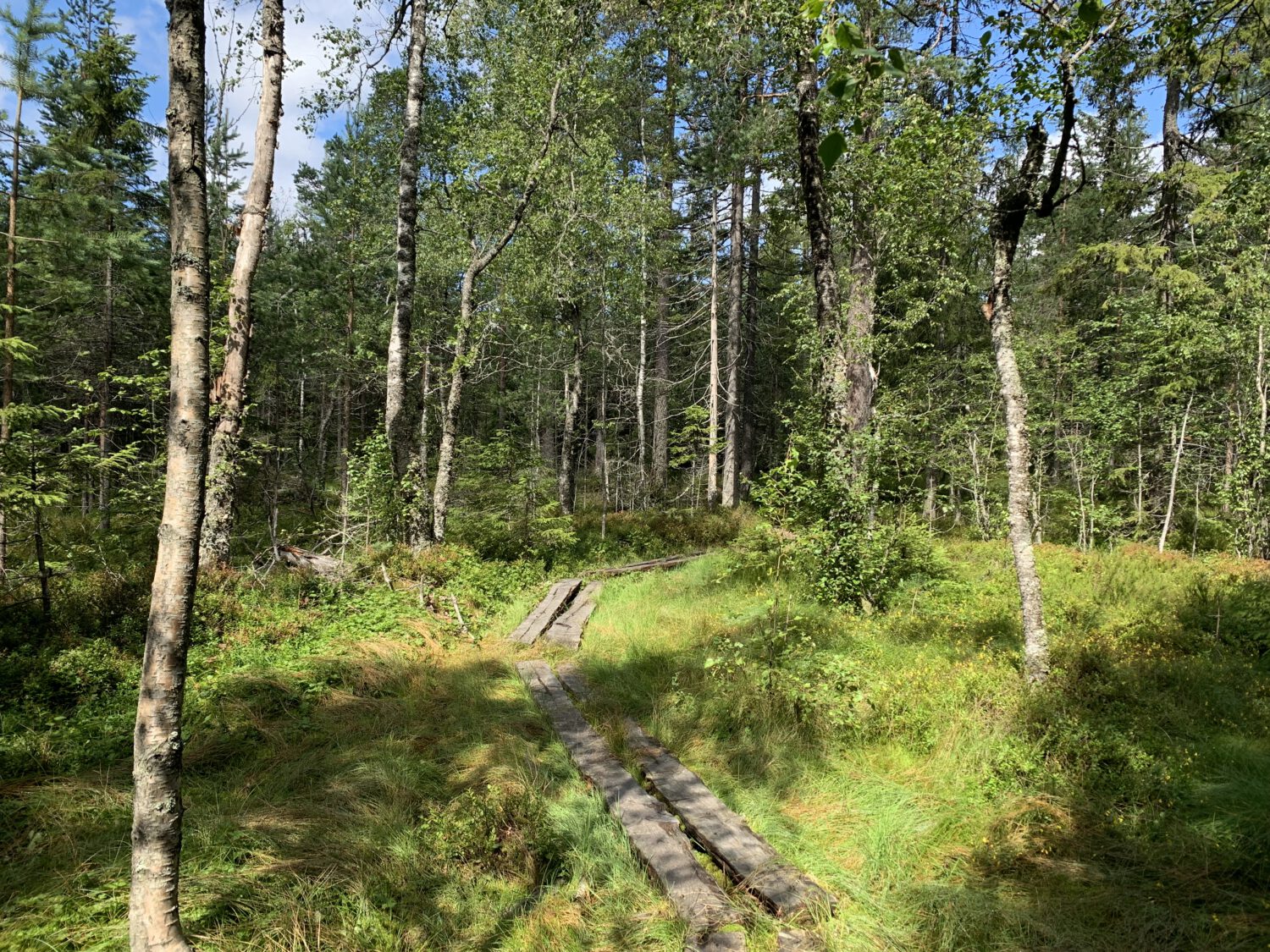
#10: The marshes before Haukåsen - This area is somehow also mosquito-free. Thankfully. The logs, when wet, can be a bit treacherous, so this is one place I try to pace myself if I'm travelling light.
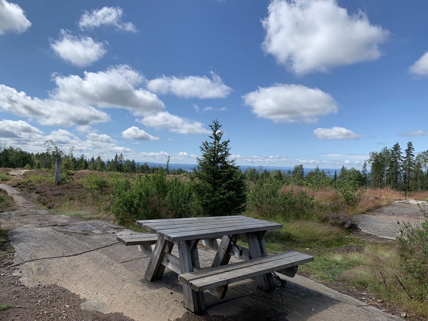
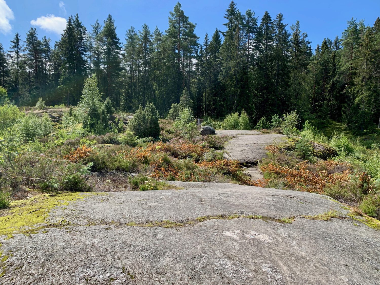
#11: The Haukåsen plateu - Stark, flat, and usually busy. Today there was noone. Not pictured? A radar tower.
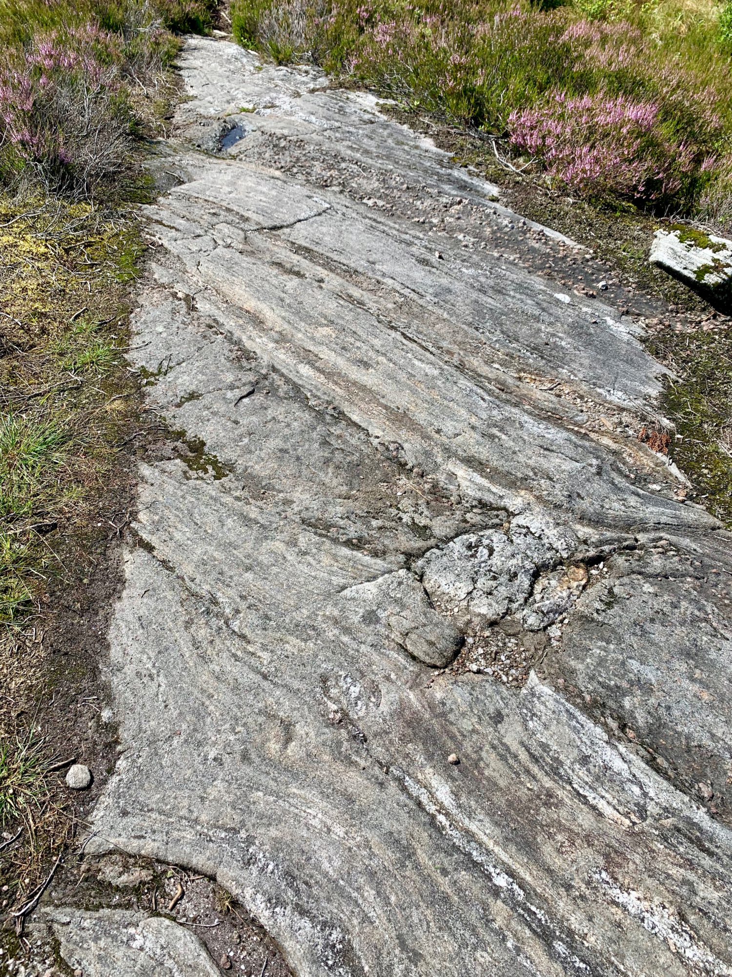
#12: Oslo is full of fascinating geology - Fault lines everywhere!
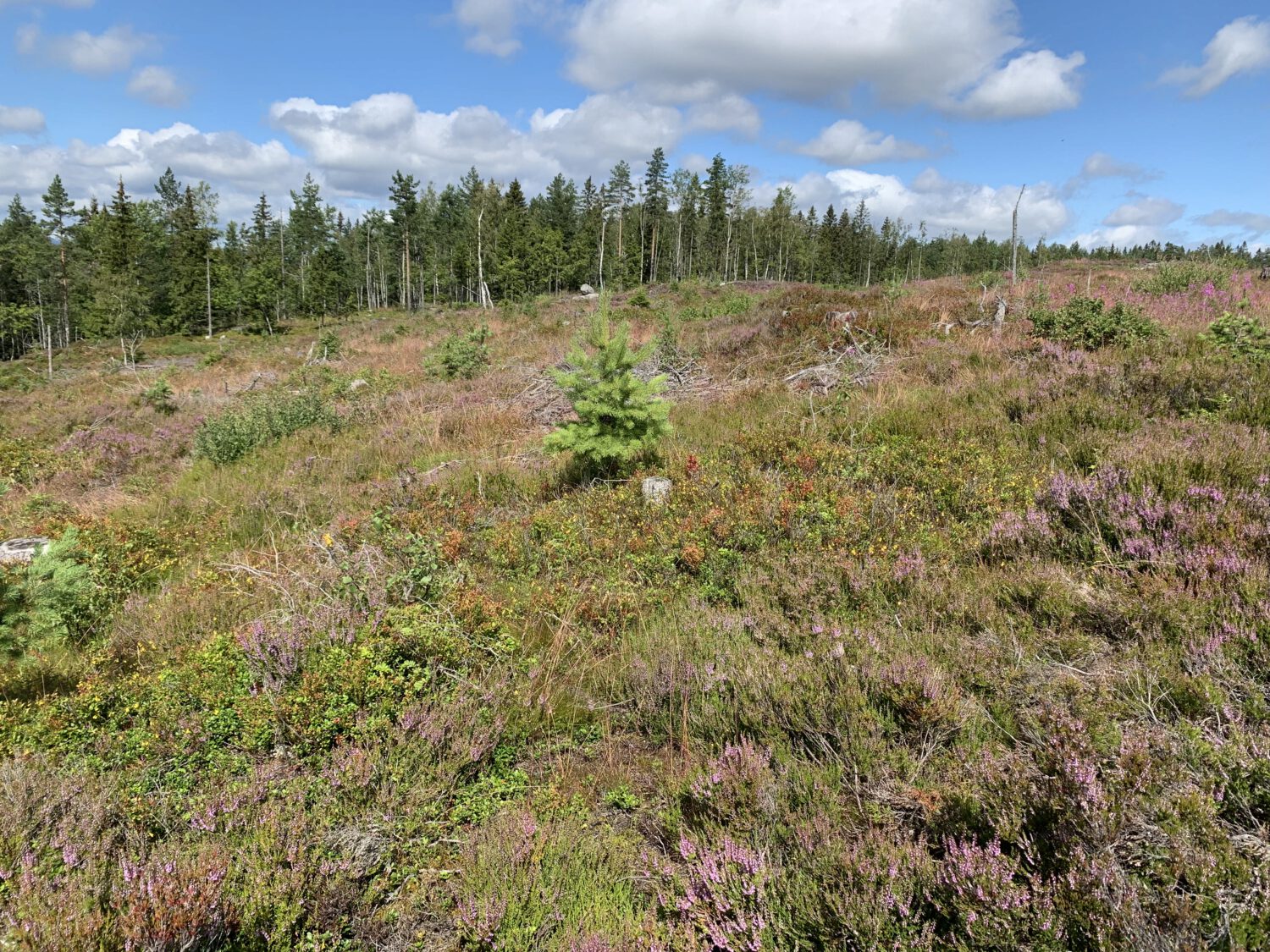
#13: Without trees, the heather and small flowers blanket everything - As Haukåsen is cleared for the radar tower, the plateu takes on a look reminescent of mountain regions in Norway. I'm a sucker for this look, so this is another favorite stretch of mine, even if we're only at 357 meters.
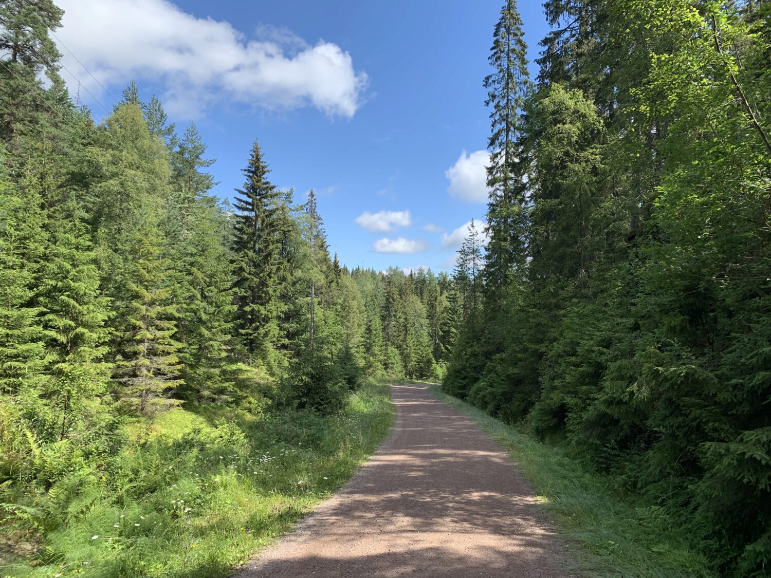
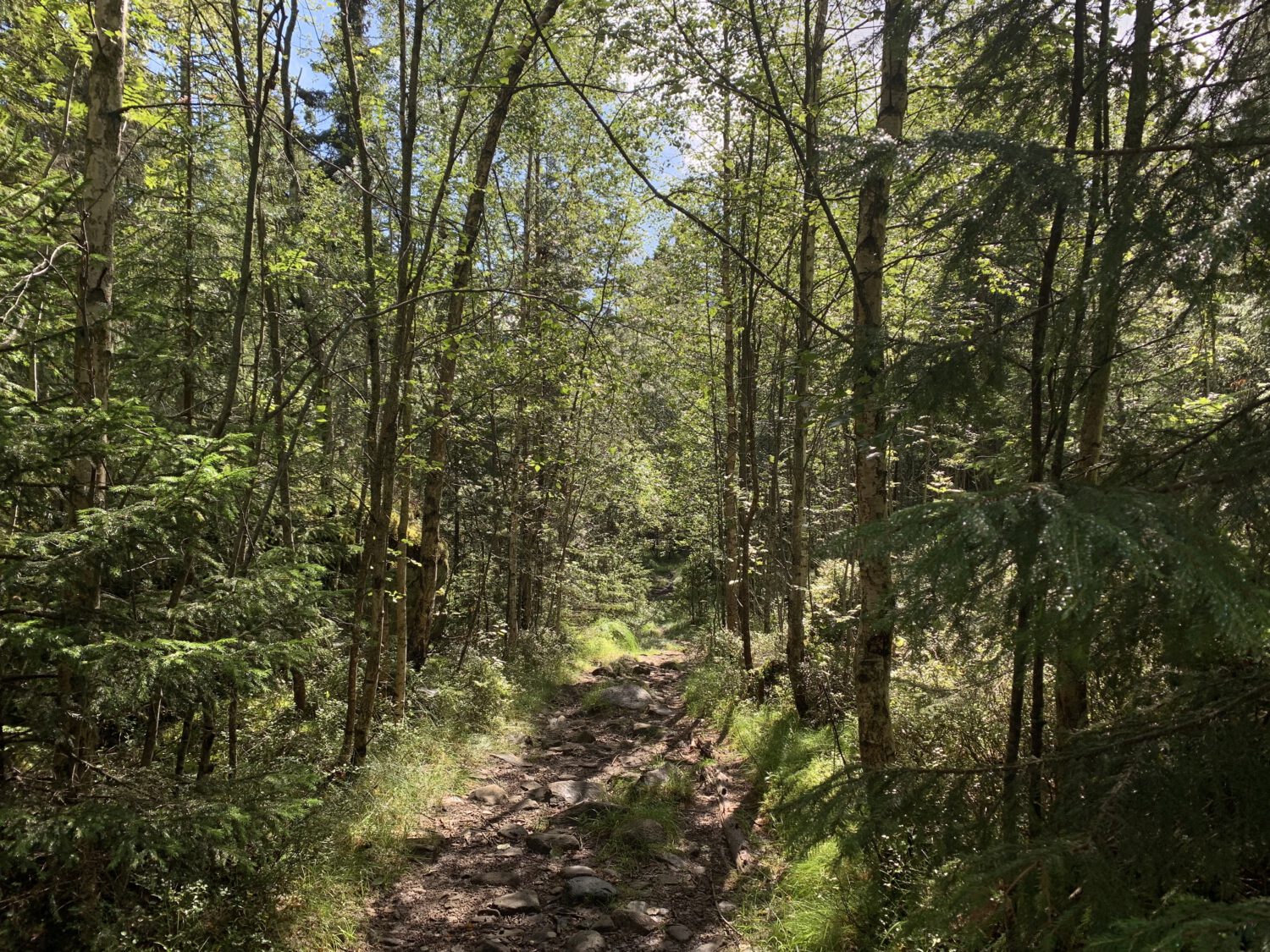
#14: The forest road down to Mariholtet - You could do a very long hike in Østmarka just on roads like these, and they tend to be busy. Today I met two people heading up to Haukåsen. This road connects to Mariholtet which is a staffed and open cafe with flusing toilets.
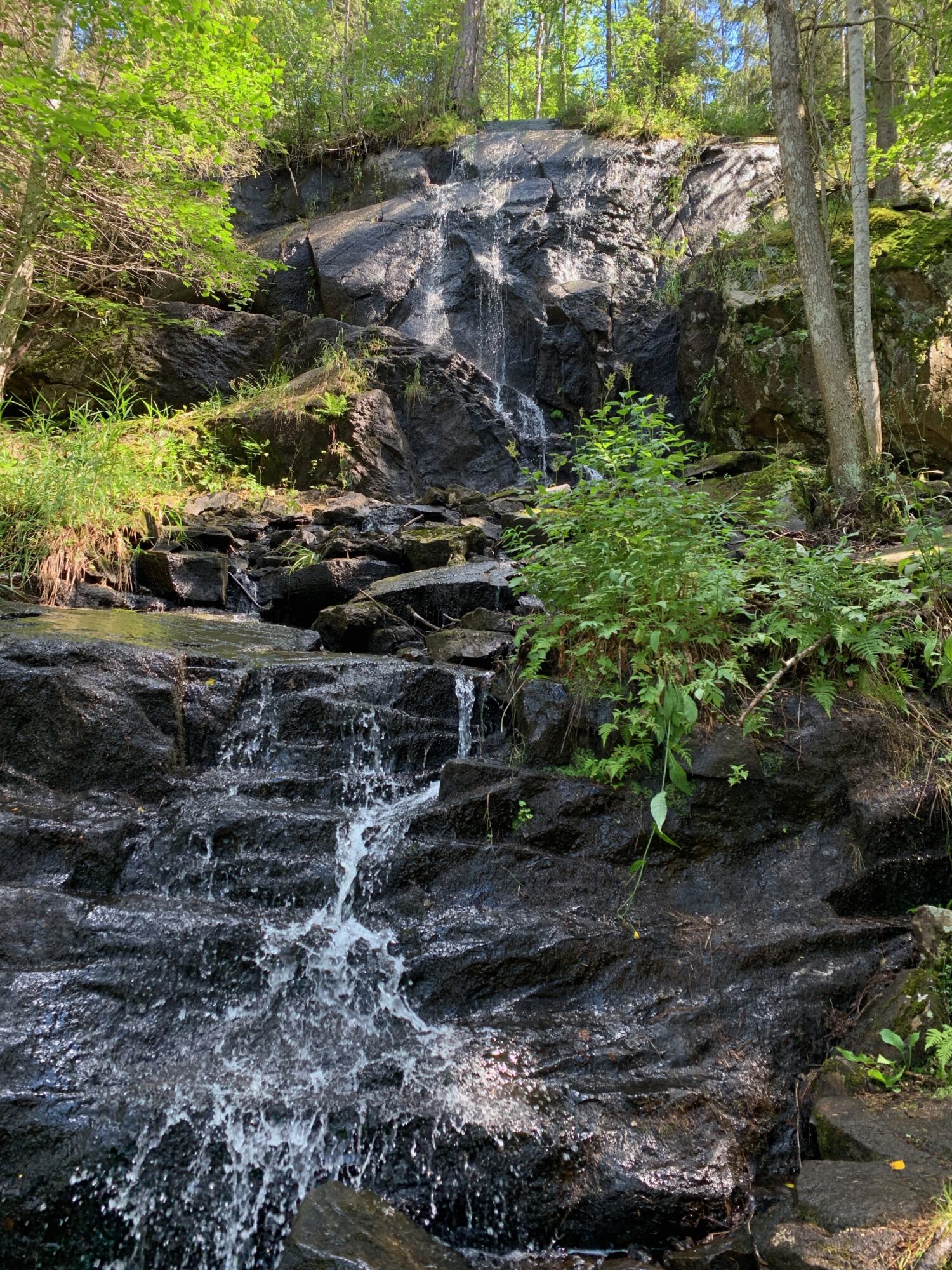
#15: The waterfalls by Sarabråten - A fair bit later I reach the waterfalls by Sarabråten. I have mostly walked the roads to get here and I finally encountered people These waterfalls come from the creek that fills an old reservoir up top.
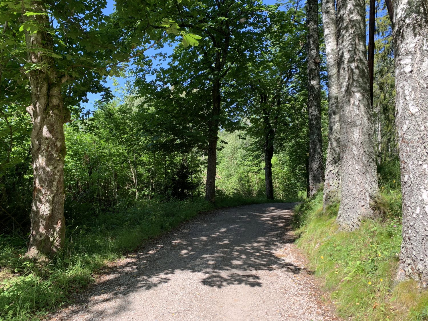
#16: Warm and lovely roads - I do have a lot of pictures of this exact piece of road. I wonder why?
#17: Nøklevann seen from Sarabråten - Another favorite. This place is almost always busy. Getting a seat with a view isn't a given. There used to be a large estate here and it got its water from the reservoir that now feeds the waterfall.
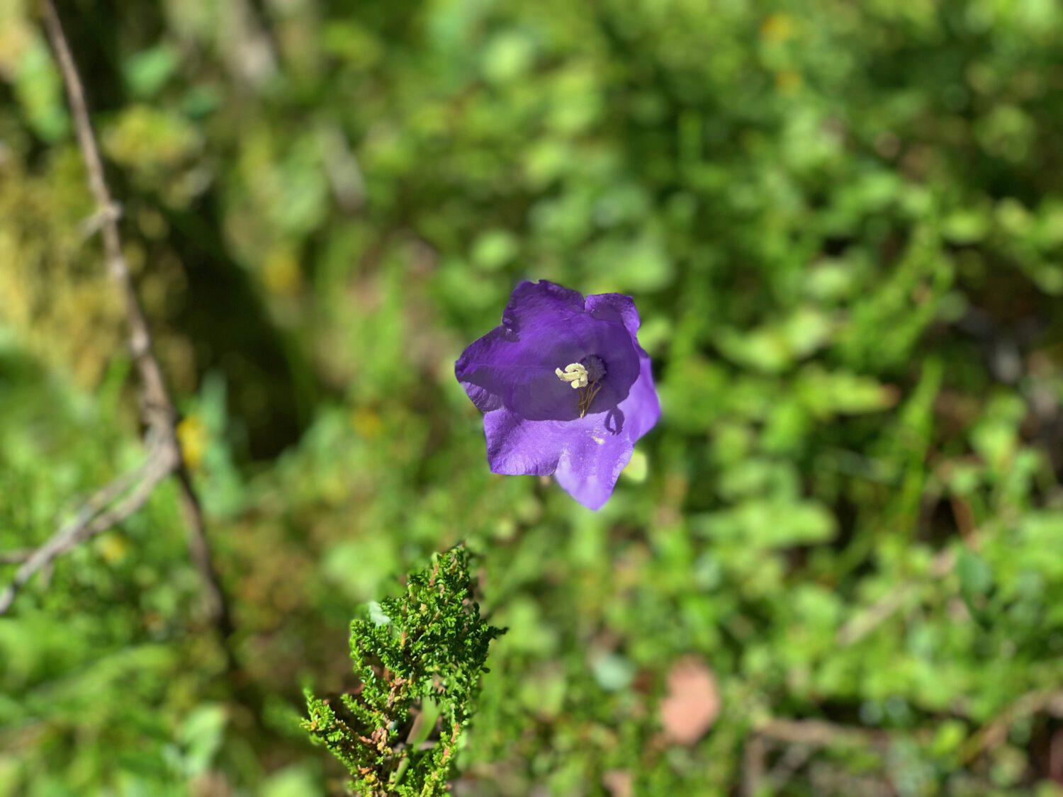
#18: A flower! - A harebell? Probably.
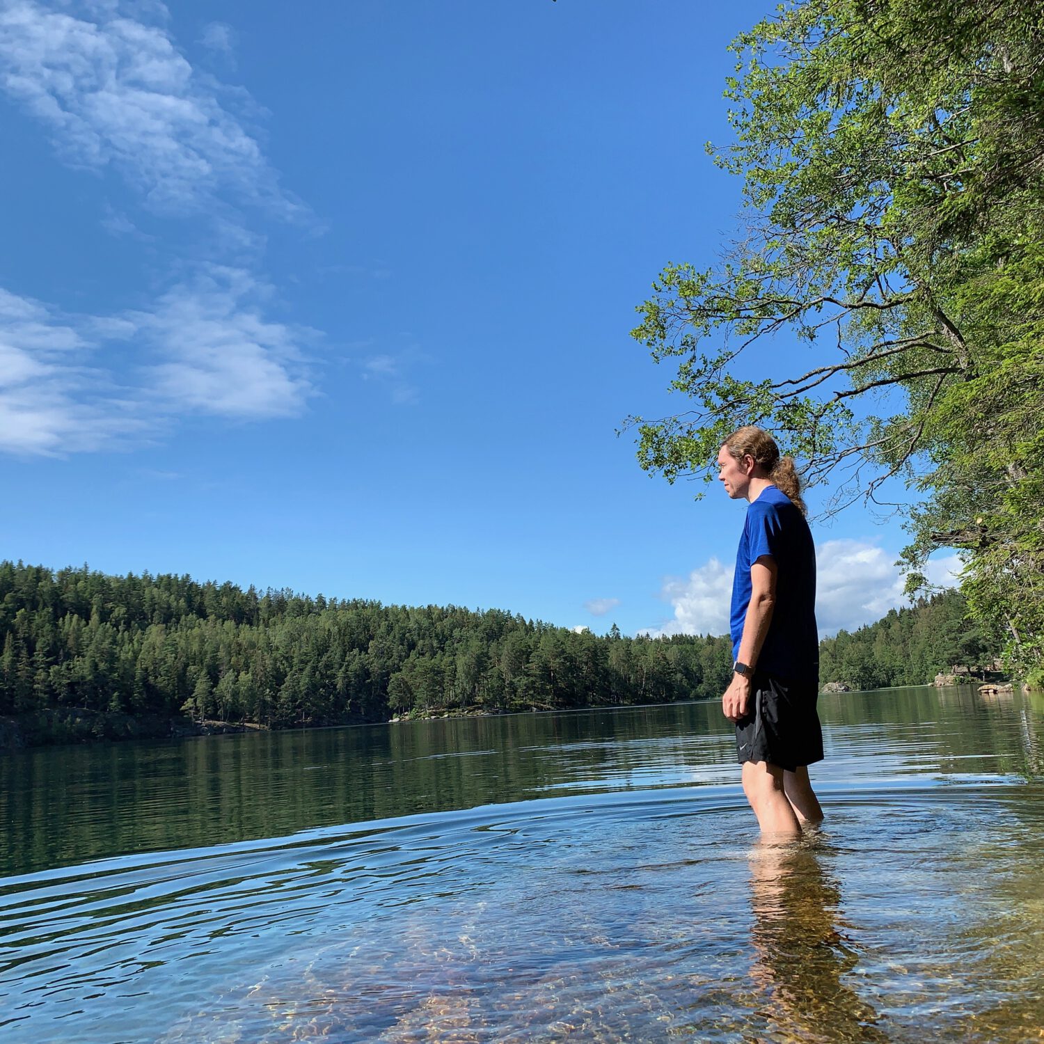
#19: Lutvann, a final chance to cool off before heading home. - A short walk from a residential area, with a parking lot right next door. Lutvann is always busy. Today was no different. I found a quiet spot far down the east side of the waters and got some space to myself. In the building heat, the soak was ever pleasant.
So there you have it. A lovely day in Østmarka. This route is around 22km (around 14 US miles) long. With long breaks and a pleasant tempo, I was out and about for around six hours. I’m so happy I decided to make a day of it.
Subscribe via RSS